Why Sidewalk Width Is the Most Underrated Variable in Urban Running
Hills get all the attention. Sidewalk width gets none. In a dense city, it determines whether you actually run — or just survive your run.
Strava will tell you the elevation. Your watch will tell you the pace. Your training plan will tell you the distance. Almost nothing in the entire ecosystem of running technology will tell you the variable that most predicts whether you will enjoy a route in a dense city: how wide the sidewalk actually is. This is strange, because in a place like Paris sidewalk width is the most discriminating variable between any two candidate routes. Two streets that look identical on a map can produce completely different runs because one is paved for runners and the other was paved for pedestrians who walk at four kilometres an hour. Once you start noticing this you cannot un-notice it, and it will change how you read every map you look at thereafter.
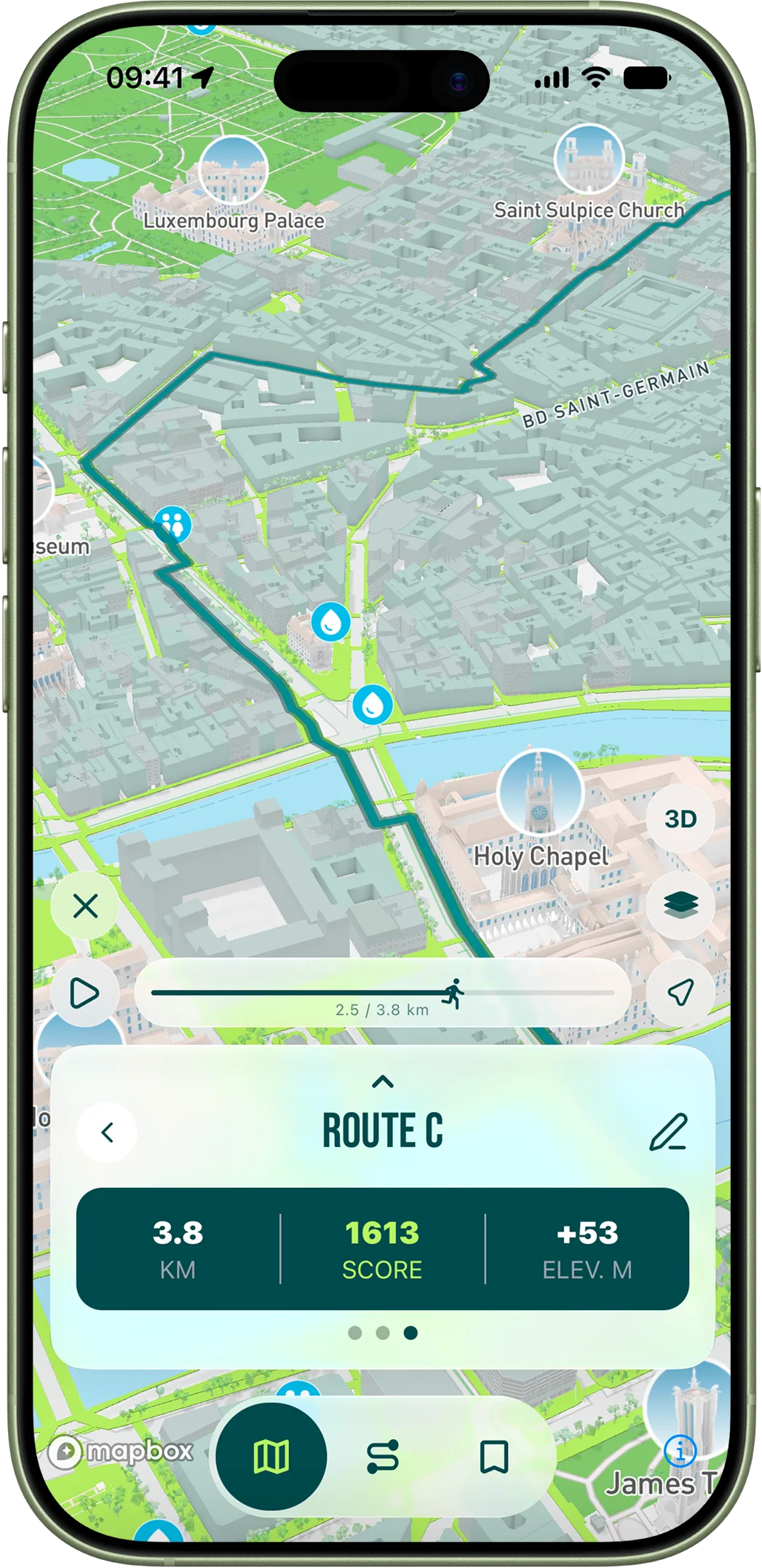
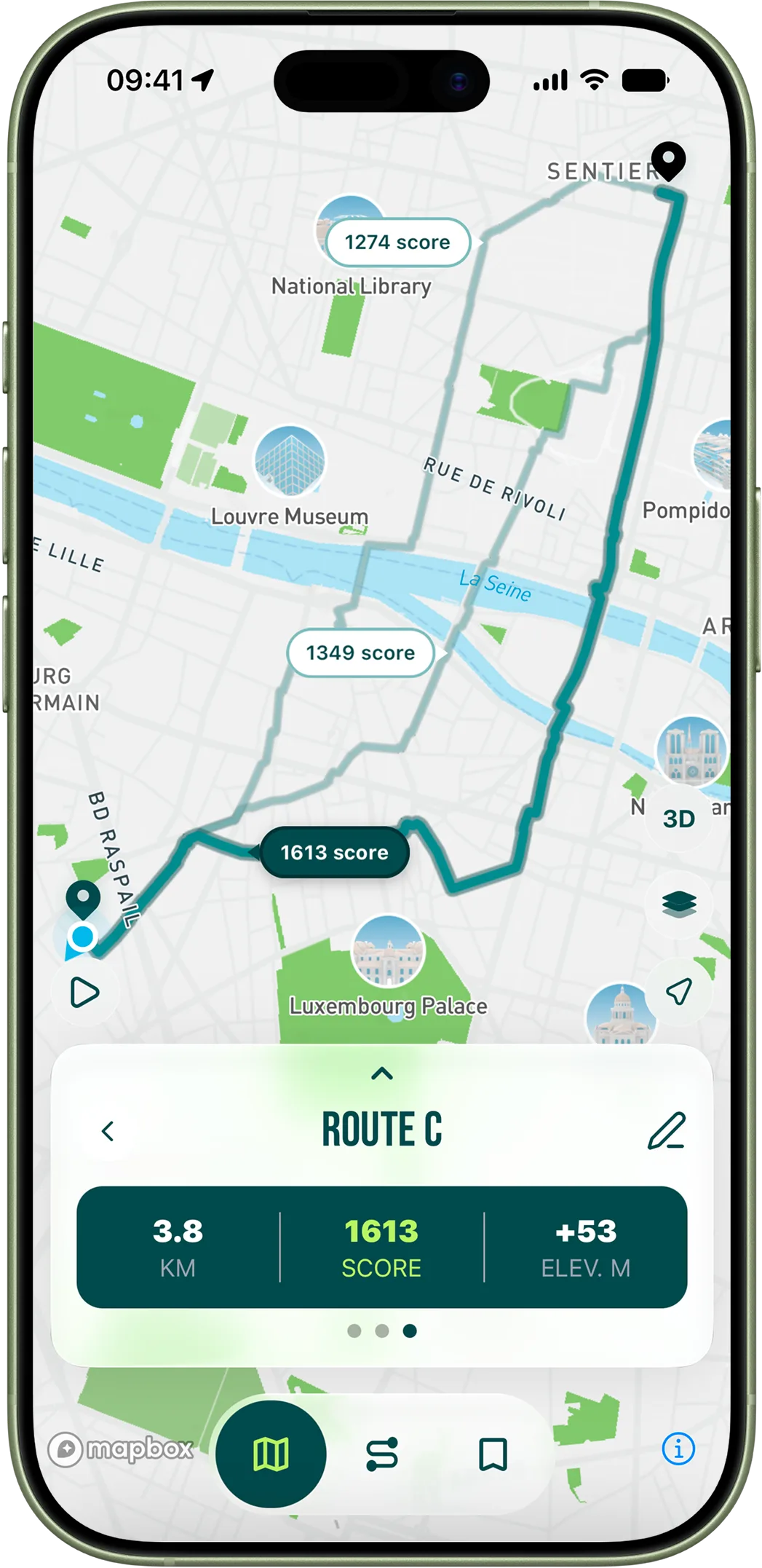
The City of Paris publishes the precise width of every sidewalk segment as part of its open data programme. The dataset has been maintained since 2013, it covers around 1,800 kilometres of pavement, and it is updated whenever the city does significant streetwork. We ingest this data and use it as the baseline of every street's score in RunninParis. Wider sidewalk equals higher base score equals higher chance the algorithm picks that street as part of a generated route. The output of this is that routes generated by the app naturally cluster on the wide-sidewalk grid even when you do not tell the algorithm to. You get this for free. But understanding why it matters changes how you use the app — and how you run when you do not have it.
The threshold effect — three zones of sidewalk experience
Sidewalk experience is not linear. It has three distinct zones, with sharp transitions between them, and once you learn the thresholds you will start measuring sidewalks by eye whether you intend to or not. The first zone is below roughly 1.5 metres of effective width. At that width you cannot pass a pedestrian without breaking your line — either you slow down, you step off the curb into a parking lane or worse the street, or you brush past at uncomfortable proximity. The medieval streets of the Marais, large parts of the Latin Quarter, the warren around the Sentier in the 2nd, and most of the small streets behind the boulevard Saint-Germain fall into this zone. Beautiful streets. Bad sidewalks. You can run them, especially at 6 a.m., but each one is a constant low-level negotiation that drains the mental reserves you wanted for the actual workout.
The second zone is between roughly 1.5 and 2.5 metres. This is workable. You can hold pace. You can pass a single pedestrian without leaving the sidewalk. You cannot pass a couple walking abreast, and you absolutely cannot pass a stroller. Two-thirds of the streets in central Paris fall into this band. Most of your runs, no matter what your training plan, will spend most of their time on streets like this if you do not deliberately steer toward something better. They are not bad streets — they simply do not allow you to enter the deep flow state that distance running rewards. The cognitive cost is small per intersection but compounding over distance: by kilometre five you have done thousands of micro-adjustments, and the fatigue from those adjustments is real even though no GPS will record it.
The third zone is above 2.5 metres, and at this width something fundamental changes. You can hold your line. You can let your gaze travel ahead instead of locking on the immediate three metres of pavement. Two pedestrians can pass you, abreast, without you needing to react. Your brain releases the bandwidth it was spending on micro-adjustment and you settle in. The grands boulevards — Haussmann, Magenta, Saint-Michel, Saint-Germain west of the rue de Seine — sit at 4 to 5 metres consistently. The avenue Foch is the extreme case at between 8 and 12 metres of sidewalk width on each side, which makes it the widest running surface in inner Paris and a favourite of the city's marathon clubs for long Sunday runs. The avenue de Wagram, the avenue Marceau, the avenue de Saxe, the boulevard de Sébastopol, the boulevard Voltaire and the boulevard Magenta all sit in this third zone. The pattern is not random: these are the streets Haussmann cut through medieval Paris in the 1860s as blank-canvas projects, and his designers gave them generous sidewalks because pedestrian flow was the central design problem. We are still benefiting from that design 160 years later.
Where Paris hides its widest streets, and where it hides its worst
If you want to map the wide-sidewalk network mentally, start with the Haussmannian grid. From the Étoile, the avenues radiate outward — every one of them is wide. From the place de l'Opéra, the boulevard Haussmann runs west and the boulevard des Italiens runs east, both reliably wide. The boulevard Magenta from Gare de l'Est to Barbès is one of the most consistently wide stretches in the city. The grands boulevards across the 9th and 10th, the avenue de Wagram, the avenue de Friedland, the avenue Hoche, the avenue Marceau, the avenue Kléber, the avenue de New-York, the avenue de Suffren and the avenue de Tourville all reliably score in the high band. The Champs-Élysées is wider than people remember (about 7 metres of sidewalk on each side) but stressful for other reasons — tourists, scooters, intersection density — so it scores lower overall.
The flip side, the streets to avoid for serious running, fall into two categories. The medieval core — the Marais east of the rue Vieille-du-Temple, the Latin Quarter east of the rue Saint-Jacques, the Île de la Cité, the southern edge of Saint-Germain — has streets that average under 1.5 metres of pavement and are beautiful to walk but punishing to run. The other category is the "modern but cheap" — sections of the 13th, 19th and 20th where post-war development cut narrow sidewalks because the postwar planners assumed everyone would drive. These streets often have wide roads with narrow pavements, which is the worst possible configuration for runners. Avoid them in favour of the nearby Haussmannian or pre-Haussmannian alternatives, even when the modern street looks shorter on the map. The shortcut is not faster in practice; it is just shorter on paper.
How RunninParis uses the data, and what that means for your runs
The math is straightforward. Width in metres becomes a base score from 0 to 100 per street segment, then multiplied by the boost factors (parks, pedestrian zones, tree density, meeting zones, fitness paths, median strips). A 4-metre Haussmannian boulevard with mature plane trees and a meeting-zone designation will outscore a 1.5-metre medieval cobble street by an order of magnitude. The algorithm prefers high-base streets first and only descends into narrower streets when the routing requires it. The result is that routes generated by the app cluster naturally on the wide-sidewalk grid without you needing to ask. If you have used the app for any length of time and noticed that your generated loops tend to use the same handful of avenues over and over, this is why.
The deeper outcome of paying attention to sidewalk width is that it changes how you read the city. After a month with the app you will start noticing pavement widths on streets you have walked past a thousand times — at the metro exit, on the way to work, in the supermarket parking arc. That awareness alone will improve your unplanned runs, the ones you do because you have a free thirty minutes and no time to open the app. You will instinctively turn toward the wider streets. The technology is the training wheels. The real outcome is that you have learned to read the geometry of the city the way a runner reads it.