Running the Canal Saint-Martin and Canal de l'Ourcq: Paris's Flattest Car-Free Corridor
From the Bastille to Pantin, the canal towpaths give you ten kilometres of flat, lit, traffic-free running. Here is how to run them well, and when to avoid them.

Most of Paris asks something of your legs — a bridge, a park hill, a kerb every fifty metres. The canals ask nothing. The continuous waterway that runs from the Port de l'Arsenal at the Bastille, up through the Canal Saint-Martin, across the Bassin de la Villette and out along the Canal de l'Ourcq toward Pantin is the flattest, most uninterrupted running surface in the city. End to end it is comfortably more than ten kilometres of mostly separated path, and for anyone training for a flat road race or just wanting to hold a pace without thinking, it is the single best corridor in Paris.
The Canal Saint-Martin: pretty, central, slightly technical
The southern half — the Canal Saint-Martin proper, between the Bastille and the Bassin de la Villette — is the postcard one: iron footbridges, plane trees, the locks that lift boats through the 10th arrondissement. The banks here are pedestrianised on weekends and part of the lower section runs underground beneath the Boulevard Richard-Lenoir, so the runnable stretch is the open part from roughly the Rue du Faubourg-du-Temple north. It is beautiful but busy — cyclists, strollers and café crowds share the same narrow quays — so it rewards early mornings and punishes Sunday afternoons. Treat the Saint-Martin as the scenic, slower section of a longer run rather than the place you chase a time.
The Canal de l'Ourcq: where the distance opens up
North of the Bassin de la Villette, everything changes. The Canal de l'Ourcq has wide, separated, dead-straight towpaths that run for kilometres past the Parc de la Villette and out through Pantin and Bobigny, and they are lit at night, which makes this the default winter-evening route for runners across the northeast. There are no locks to interrupt you and few road crossings, so you can hold an even tempo for as long as your legs last. The trade-off is that it is exposed — little tree cover, full wind off the water — so it is glorious in spring and brutal in a February headwind. Fountains and toilets exist along the Villette stretch but thin out as you head toward Pantin, which is the one thing to plan around on a long run.
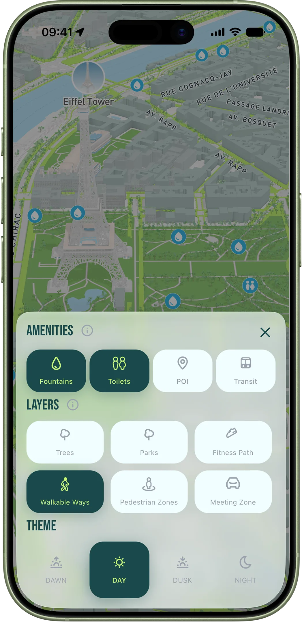
That planning is where the app earns its place on a canal run. Set a start anywhere along the water and a distance, and it will route you along the towpaths, show you the fountains and toilets as map overlays, and tell you exactly where the path leaves the canal so you do not end up stranded at an industrial dead-end. Because the canals score so highly on flatness and car-free surface, a canal route almost always comes up as one of the top suggestions from any northeastern address — and you can export it straight to your watch and just run.


