Running the Seine: The Best Riverside Route in Paris
The two banks of the Seine offer the longest car-free urban riverside run in mainland Europe. A complete guide to the route, the bridges and the timing.
If you have only one run in Paris and need to make it count, run the Seine. The two banks of the river between the Pont d'Iéna at the foot of the Eiffel Tower and the Pont de Bercy on the east of the city now offer the longest continuously runnable, fully pedestrianized urban riverside in mainland Europe. Roughly 7.5 kilometres on each side, fifteen kilometres total if you do both, with the bridges spaced closely enough to let you cut almost any distance you want into the route. There is no traffic and no parking. The surface is uniformly clean asphalt or worked stone. Water fountains, public toilets and benches recur every few hundred metres. The view is what it is. This is the single best route in the city, it never closes, and it costs you nothing to make it your default.
The current configuration is recent. The right-bank Voies sur Berges, formerly a four-lane riverside expressway carrying tens of thousands of cars a day, was permanently closed to vehicles in 2016 after a long political fight. The left-bank Berges de Seine had been pedestrianized in 2013. Together they created, almost by accident, a linear running corridor that runs through the densest part of one of the world's great cities. Most Parisian runners who started after 2017 do not realize how new this is, or how unusual it is internationally. Treat it accordingly.
The two banks have different personalities
The right bank is wider, harder and faster. The asphalt is smooth, sometimes new, and the corridor is between four and six metres across for most of its length — wide enough that joggers, cyclists, skaters and the occasional roller-skiing club can coexist without anyone slowing down. You pass the Tuileries, the Louvre, the Pont Neuf, the Hôtel de Ville and then the slow rise toward the Bastille and the Bassin de l'Arsenal. Monuments stack one after another for the first kilometre and then thin out as the river bends east, which suits long runs because you get the visual dopamine front-loaded and then settle into rhythm. The right bank is also where the city programmes its summer Paris Plages event from mid-July through August, so expect crowds, temporary cafés and music at certain points; if you train through summer, run before 9 a.m. and you will barely notice.
The left bank is narrower, more intimate, and meaningfully more wooded. The Berges de Seine project planted hundreds of trees, set up floating gardens at the level of the Musée d'Orsay and built in benches and shaded picnic tables. The surface alternates between asphalt and wooden boardwalk — pay attention to the boardwalk after rain, it gets slick. The light is different too: the left bank faces north, so you run in shade most of the day, which is a gift in July and a problem in February. The two banks are connected by enough bridges that you can swap whenever you want, which is the whole point.
Building distance with the bridges
The Seine route has a structural property that no other Paris route shares: the bridges are spaced closely enough — about every 500 metres on average through central Paris — that you can compose almost any distance you want without losing the river. Start at the Pont des Invalides, run east on the right bank to the Pont des Arts (about 1.4 kilometres), cross to the left bank, continue east to the Pont de Sully (about 1.8 kilometres), loop the Île Saint-Louis (about 1.5 kilometres), come back on the left bank to the Pont Royal (about 1.4 kilometres), cross to the right bank, return to your start (about 0.9 kilometres). You have just run a 7-kilometre route that touched almost every postcard monument in central Paris and you crossed the river four times. If you want 10 kilometres, extend west toward the Pont de Bir-Hakeim. If you want 12, add the loop around the Île de la Cité and the Île Saint-Louis perimeter. The composition is modular in a way nothing else in the city is.
A practical note on bridges: not all of them are equally good for runners. The Pont des Arts, the Passerelle Léopold-Sédar-Senghor and the Passerelle Simone-de-Beauvoir are dedicated pedestrian bridges and are always the best crossings. The Pont Royal, the Pont Neuf and the Pont de Sully have generous sidewalks and feel like extensions of the quays. The Pont de la Concorde, the Pont au Change and the Pont Notre-Dame are narrower and busier; if you can route around them, do. The app knows this and weights pedestrian bridges higher in route generation.
The conditions across the year
Spring is the best season — the trees along the quays leaf out, the light gets long, and the surface is dry. April and May from 7 a.m. to 9 a.m. are arguably the best hours to be a runner anywhere in the world. Summer is excellent in the early morning and difficult in the afternoon because the right bank gets direct sun and there is little shade outside the Tuileries section. Autumn is the secret season: gold light in the trees, almost empty after 6 p.m., and the cafés along the quays move their terraces inside which clears the path. Winter is workable — the quays remain lit and the surface is kept clear of leaves and debris — though the Bassin de l'Arsenal section can ice over briefly during the rare deep-cold spells, and the river itself floods at least once every couple of years in late February or March. Check the Vigicrues service before going if the water level looks high; the lower quays are closed when the level rises above a certain threshold, and the city posts the closures on city street signs but does not always update digital sources in time.
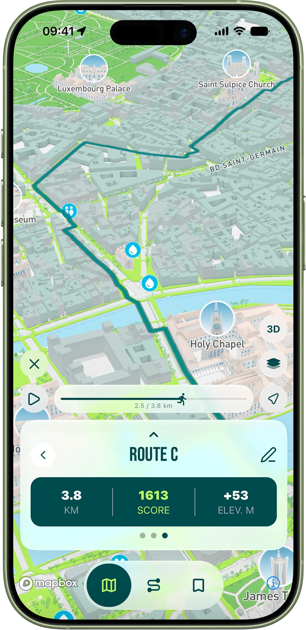
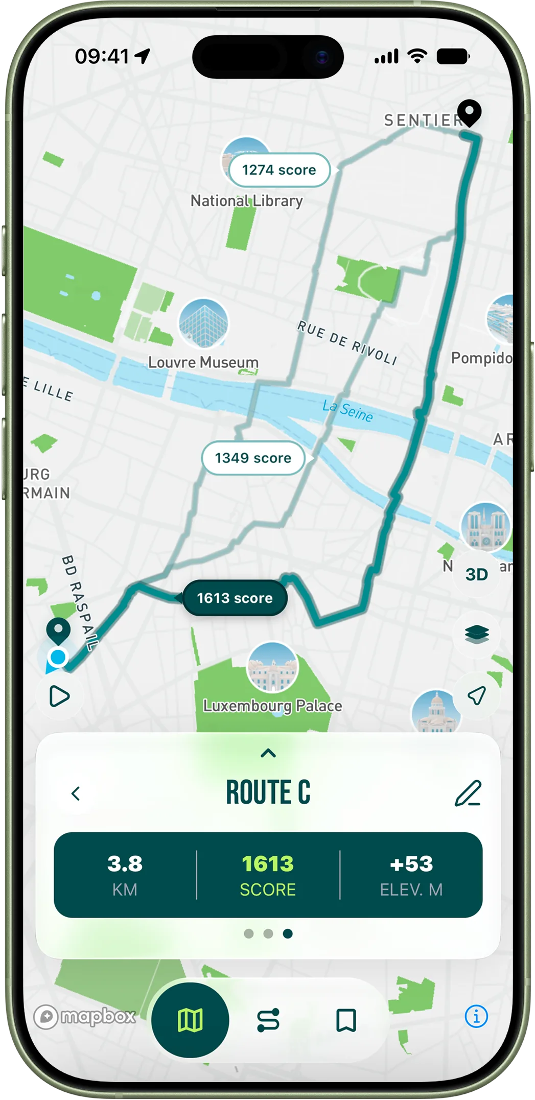
The Seine is where the RunninParis score curve flattens at the top. Pedestrian zones get one of the strongest boosts in the algorithm, and the Seine quays are effectively continuous pedestrian zones; sidewalk width is functionally unlimited; tree density in the Tuileries and the left-bank corridor is among the highest of any urban running surface in the country; and there are zero traffic lights for kilometres at a stretch. The result is that the algorithm naturally routes you onto the quays from any starting point within four kilometres of the river if you ask for a loop of eight kilometres or more. You will sometimes feel like you are being pushed toward the same route over and over. You are. It is because the same route is, by every measurable scoring criterion the app uses, the best run in the city. After enough loops you will stop fighting it.
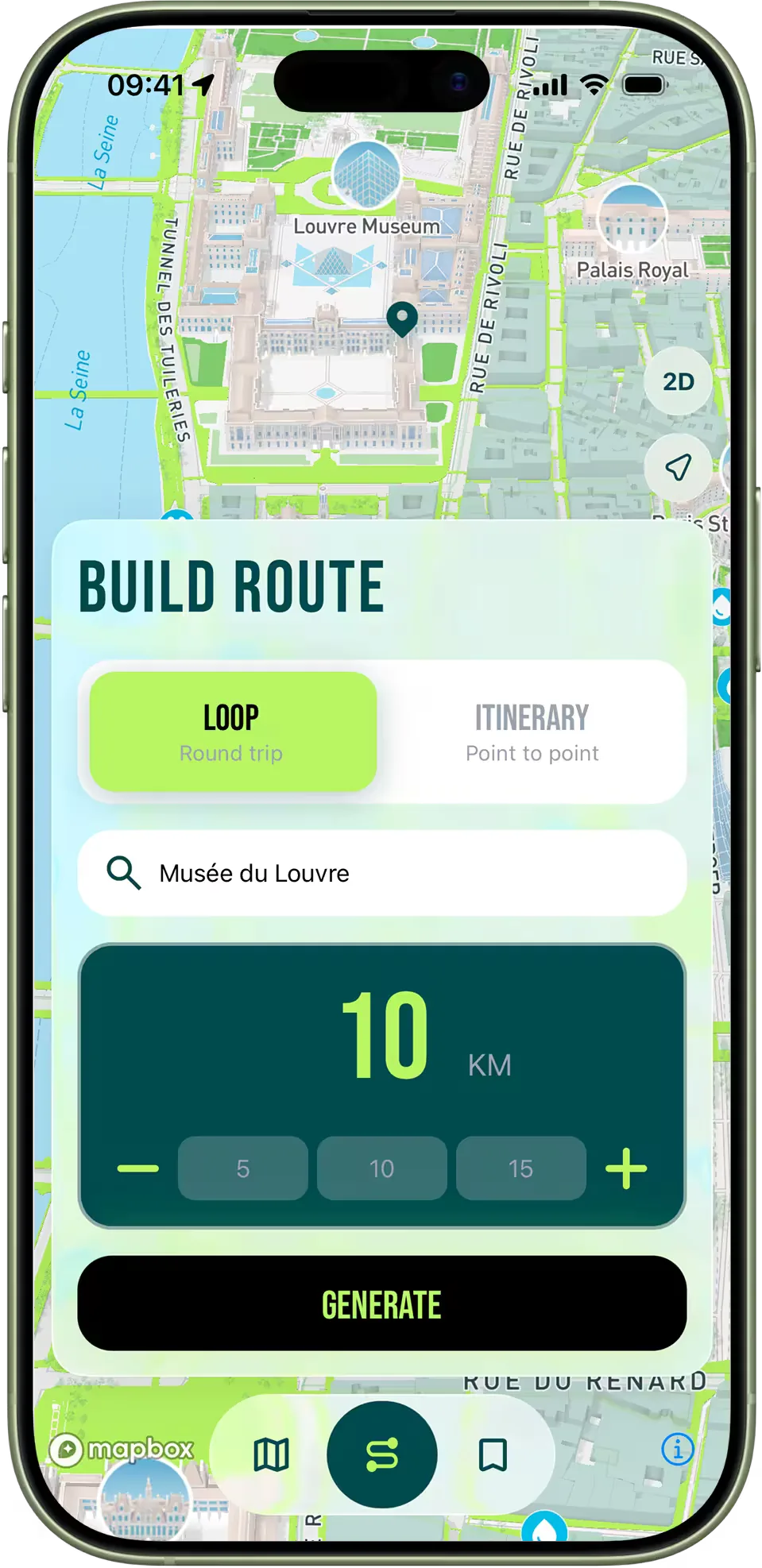
The starter pattern, if you have never done this before: pick any starting address within walking distance of a bridge, set the distance to eight kilometres, and let the app generate a loop. It will almost certainly put you onto the right bank heading east, cross you over at the Pont des Arts or the Passerelle Léopold-Sédar-Senghor, return you on the left bank, and finish you back at your start. Do it on a Sunday morning at 8 a.m. and you will understand why nobody who runs in Paris bothers to drive to a trail.