Pedestrian Streets in Paris: A Runner's Atlas
Paris has quietly become one of the most walkable major cities in Europe. A complete runner's guide to its pedestrian corridors, market streets, arcades and meeting zones.
Pedestrian streets are the most underrated infrastructure for urban runners. They eliminate the two largest annoyances of city running in a single move — the cars and the traffic lights — and they multiply your effective pace because you stop micro-decelerating at every intersection. Over the past decade Paris has quietly become one of the most pedestrianized major cities in Europe. The political fight over the Voies sur Berges in 2016 received international attention, but the bigger story has been the slow proliferation of fully or partially pedestrianized streets across the central arrondissements, alongside the legal expansion of "zones de rencontre" where pedestrians have right of way and vehicles are limited to 20 km/h. Together these add up to a network that, if you know it, changes what is possible as a runner inside the Périphérique.
This is the runner's atlas. Not the comprehensive list — that would take an actual book — but the streets and corridors that genuinely affect how you can compose a route. We have run all of them more times than is reasonable.
The market spines
Five streets in central Paris function as pedestrian market corridors and have done so for long enough to be reliable. The rue Cler in the 7th, a few minutes from the École Militaire, is the polished version: 500 metres of stone-paved pedestrian street lined with cafés and food shops, fully closed to vehicles except for early-morning deliveries. The rue Montorgueil in the 1st and 2nd is the central one — 600 metres of historic pedestrian cobble running north from the Halles, surrounded by the renewed Sentier neighbourhood. The rue Mouffetard in the 5th is the medieval one, dropping south from the place de la Contrescarpe in the Latin Quarter; the cobble is uneven and you should not race it, but for an early-morning easy run the atmosphere is hard to match elsewhere in the city. The rue des Martyrs in the 9th cuts north from the church of Notre-Dame-de-Lorette toward Pigalle and is the most local-feeling of the five. The rue de Lévis in the 17th, behind the Parc Monceau, is the runner-secret of the bourgeois quarter — a tight 350 metres of weekend pedestrianization that almost nobody outside the neighbourhood knows about.
The practical trick with all five is timing. From around 6 a.m. until roughly 9 a.m. these streets are functionally empty corridors with excellent surfaces, perfect for running through. The cafés are setting up, the food shops are unloading, but the volume of pedestrians is near zero. By 11 a.m. they have become market scenes and you weave. After 6 p.m. they become evening cafés and you weave differently. Plan your sessions accordingly: an early-morning loop from the Champ-de-Mars that threads the rue Cler and continues over the Pont Alexandre III is among the most photogenic six kilometres you can run in any city in Europe; the same loop at 7 p.m. is a slalom course. The app knows the time of day and will weight pedestrian streets even higher for early sessions, because in practice their effective running value is highest then.
The covered passages and arcades
A Parisian invention from the 19th century, the covered passages were the first commercial galleries — long arcades roofed in iron and glass, lined with shops and cafés, mostly clustered in the 1st, 2nd and 9th arrondissements. They are too short individually to count as routes, but they have an underappreciated function for runners: they are weatherproof. The Galerie Vivienne (in the 2nd, near the Palais Royal), the Passage des Panoramas (a few hundred metres east), the Passage Jouffroy (across the boulevard Montmartre) and the Passage Verdeau (just north) can be threaded into a loop that gives you several hundred metres of fully covered, lit, decorated running for the rare days when the rain is too heavy for the quays. Add the Palais Royal arcades themselves, which give you around 250 metres on each long side, and the Place des Vosges arcades in the Marais (about 300 metres total of perfectly flat, covered cobble), and you can route an entire rainy-day five-kilometre loop that touches three or four arcades for almost a kilometre of weatherproof running. We do not recommend running fast inside the passages because the floor is polished stone and the shopkeepers will look at you, but for easy recovery runs in a downpour they are unmatched.
The Marais and the meeting zones
The single most important development for urban running in Paris over the past five years has been the quiet expansion of the zone de rencontre — the legal status where pedestrians have right of way over vehicles and the speed limit is reduced to 20 km/h. The Marais (parts of the 3rd and 4th arrondissements, between the rue de Rivoli and the rue de Bretagne) is now almost entirely zoned this way, as are large sections of the 11th around Oberkampf and the rue Saint-Maur, the Butte aux Cailles in the 13th, the small streets between the rue de Vaugirard and the boulevard du Montparnasse in the 6th, and substantial parts of the 18th, 19th and 20th. Visually these streets look like normal streets — same buildings, same cafés, same parking. Practically, the traffic volume is somewhere between half and a third of what it would be on a comparable through street, and the speed limit is enforceable. For a runner this changes everything: you can run the rue Rambuteau or the rue des Archives at 7 a.m. in the same mental mode as you would run a pedestrianized street, only adjusting for the very occasional delivery van or resident car.
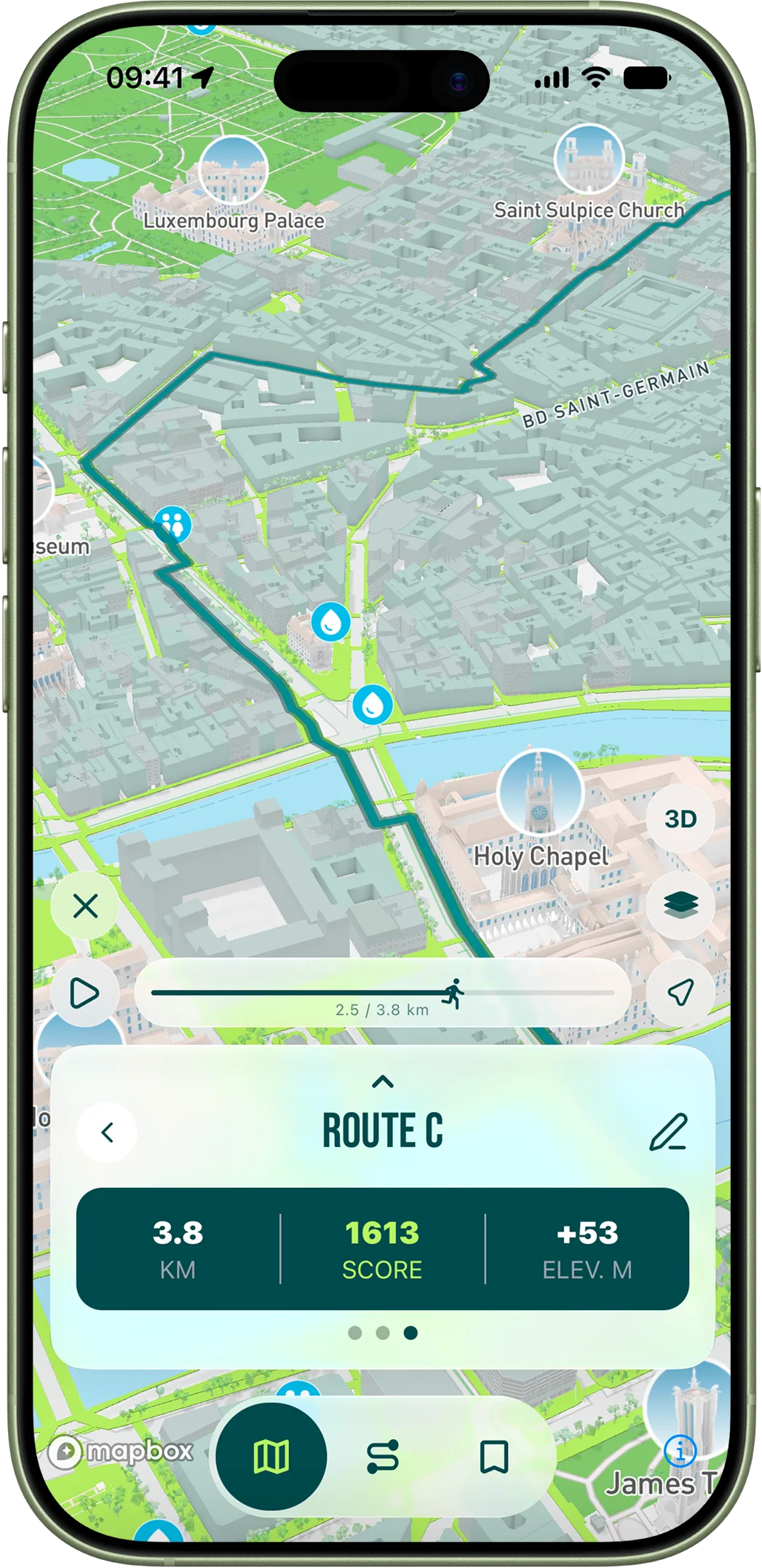
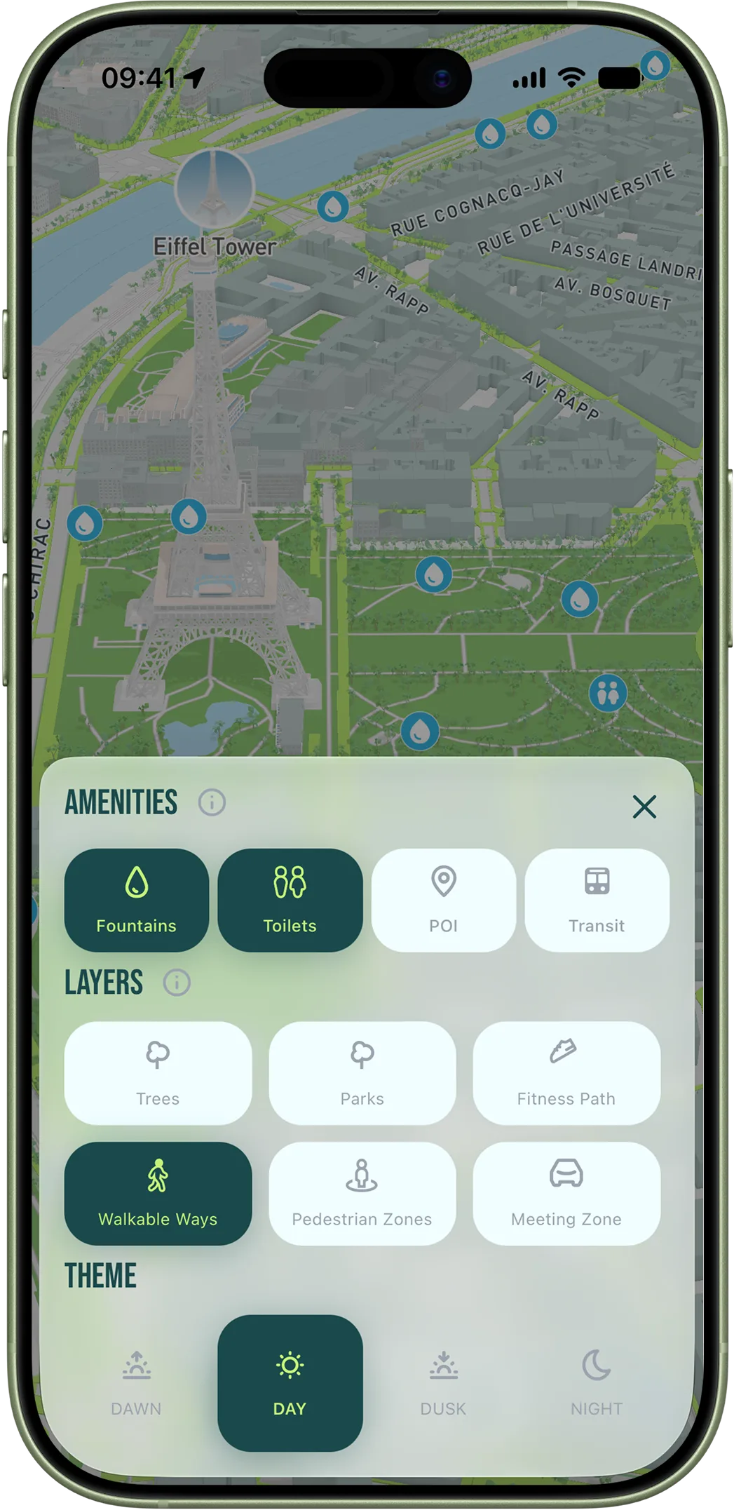
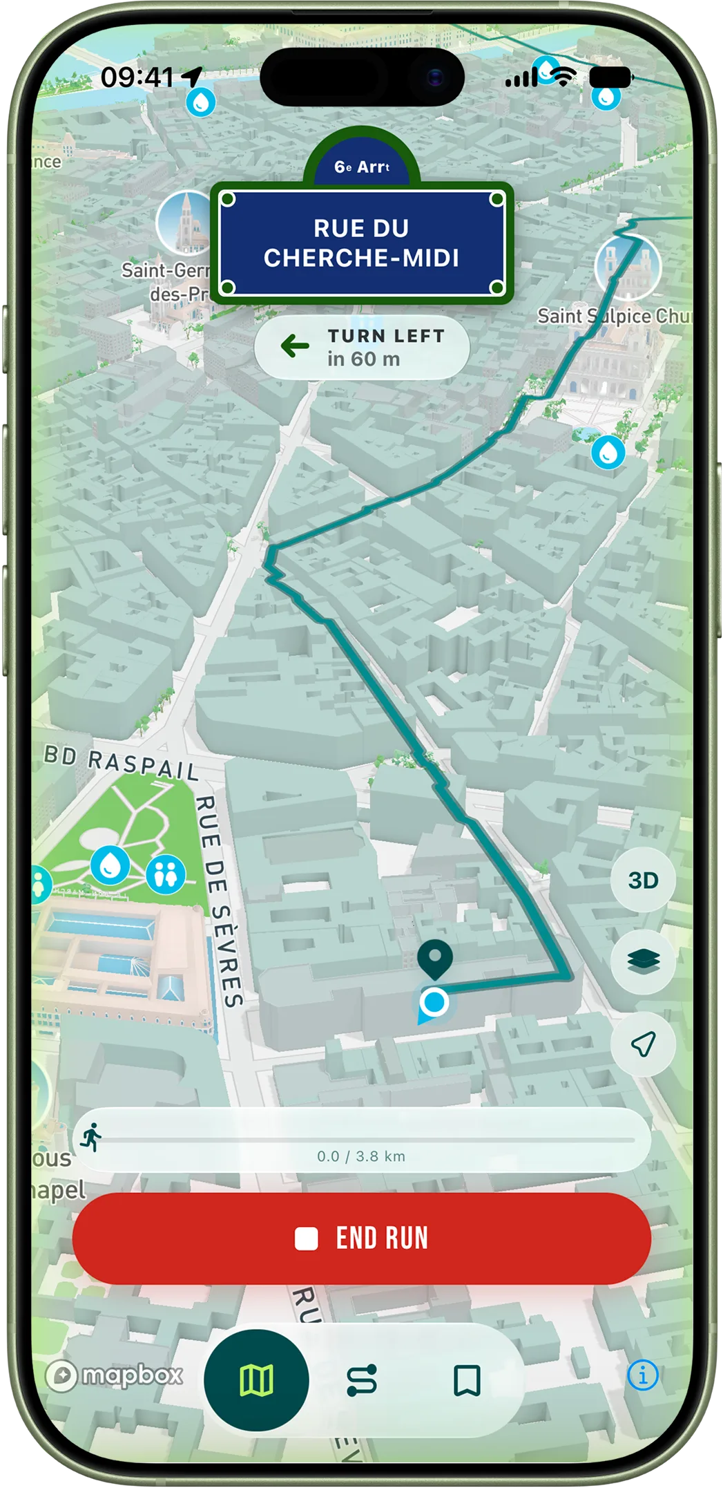
RunninParis treats pedestrian zones, meeting zones and weekend-pedestrianized streets as three separate inputs in the score, weighted in that order. The result is that the algorithm naturally finds the Marais, the south Sentier and the Butte aux Cailles when you generate a route from anywhere near them, even when you have not asked for "pedestrian streets" explicitly. Open the running map view in the app and toggle the pedestrian-zone overlay on — you will see how dense the network actually is. The city does not advertise it. Now you know.
How to actually use this
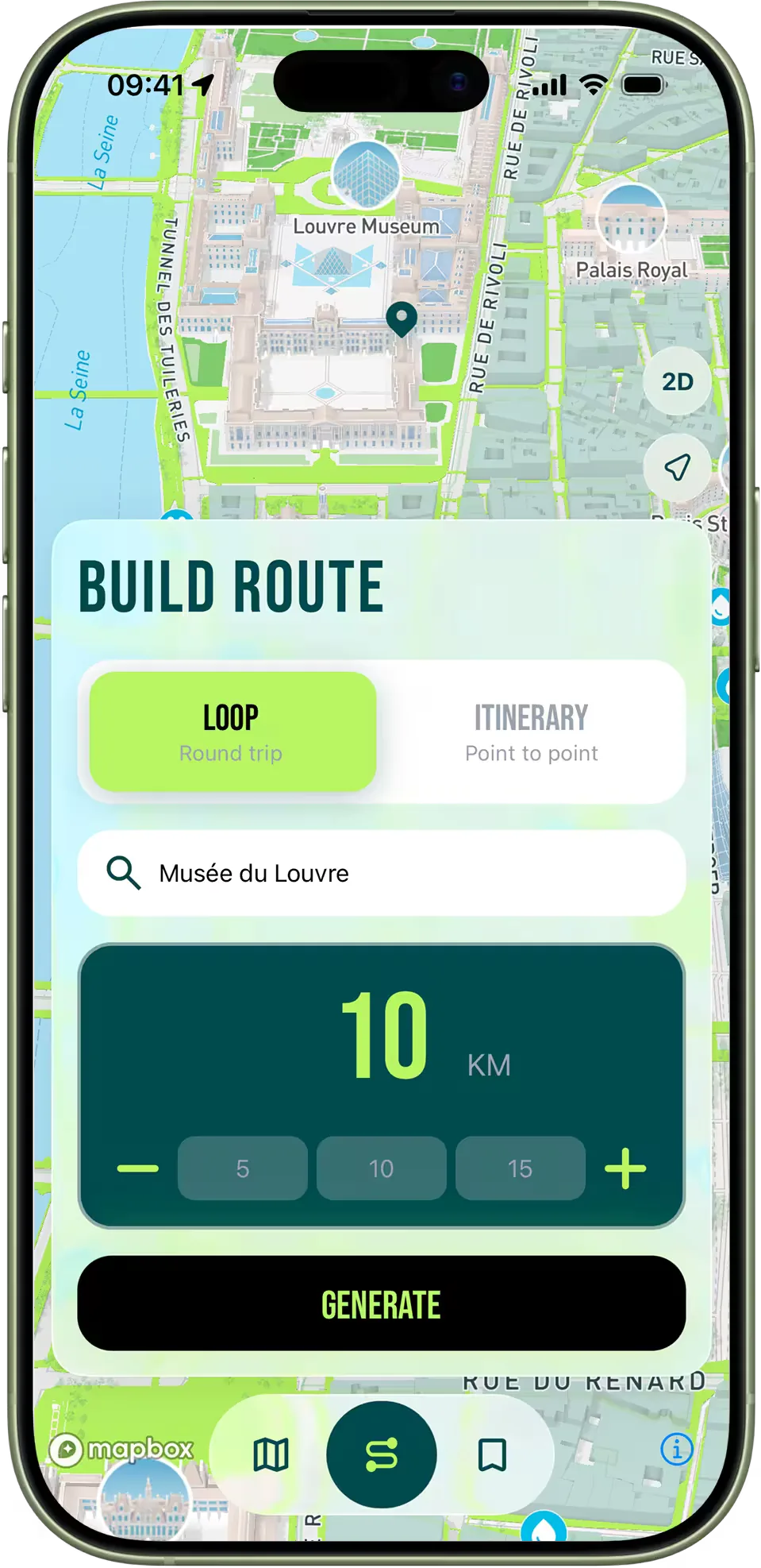
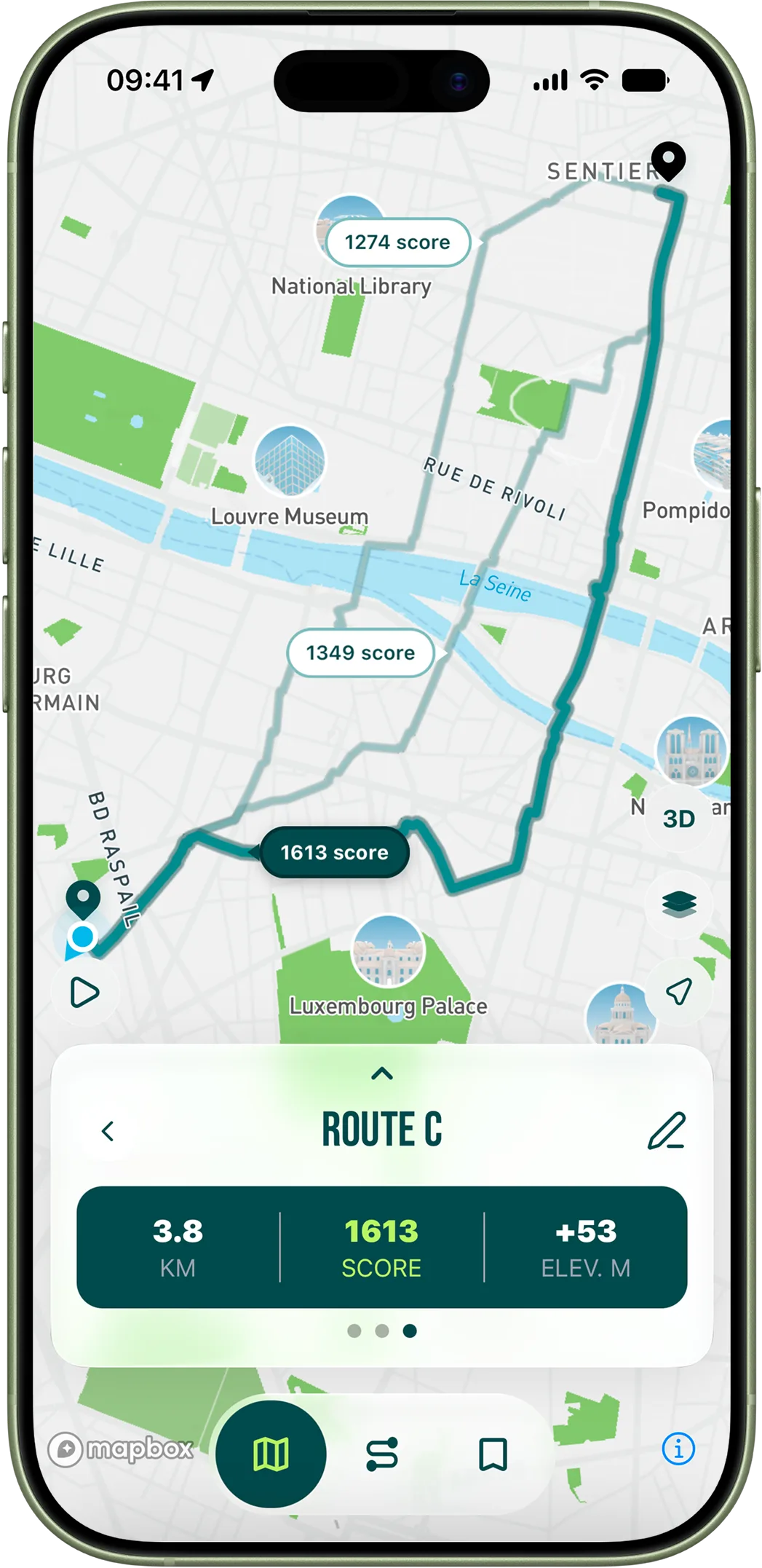
Two practical patterns. The first is the pedestrian-anchored loop: pick a starting address, find the nearest pedestrian or meeting-zone corridor on the map, and orient your loop around touching it twice — once outbound, once back. This is the highest-quality six- to eight-kilometre route composition available in central Paris. The second is the pedestrian-spine commute: if you live in the Marais, the Latin Quarter, the 11th or the 18th and your workplace is reachable on foot in twenty to forty minutes, build the running version of that commute. The app's itinerary mode is designed for exactly this. You will end up running to work twice a week without trying, and once you have done it for a month, you will stop taking the Métro for any distance under five kilometres because the run is simply more pleasant.