The Best Parks to Run in Paris: A Complete Guide
From the Bois de Boulogne to the Promenade Plantée, a runner-first guide to the green spaces that change how you train in Paris.
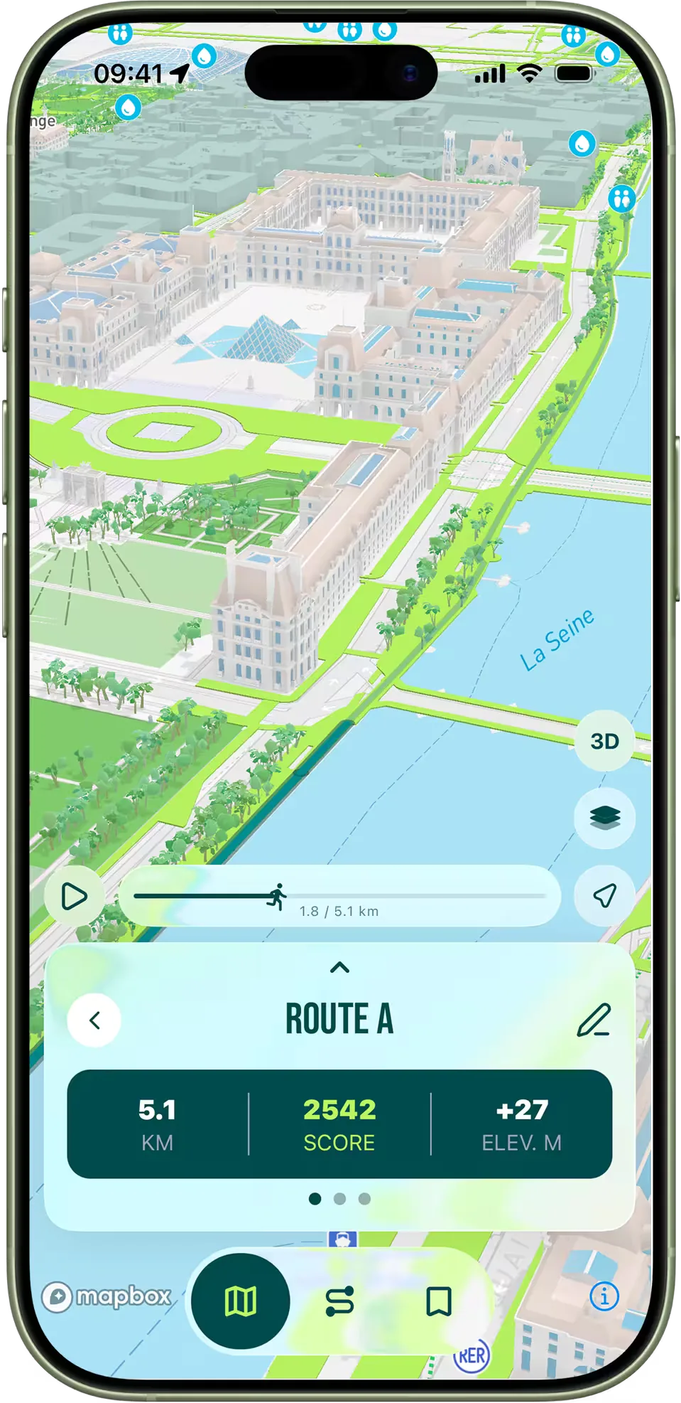
Paris is famous for its boulevards, its bridges and its light — but the city's running soul lives in its parks. Across just 105 square kilometres of dense urban fabric, Paris squeezes in roughly 480 public green spaces, from postage-stamp jardins de quartier to two enormous wooded former royal hunting grounds that bookend the city east and west. For a runner, that density is the point. In most arrondissements you are within 800 metres of a park entrance at any moment, which means you can build a serious week of training without ever needing to take the Métro to your start line. Compared with London — where the great parks form a single chain through the centre — or New York, where you either run Central Park or you do not, the Paris model is more granular. You stitch parks together using the streets between them, and the difference between an average week of urban running and a great one comes down to knowing which detour is worth it.
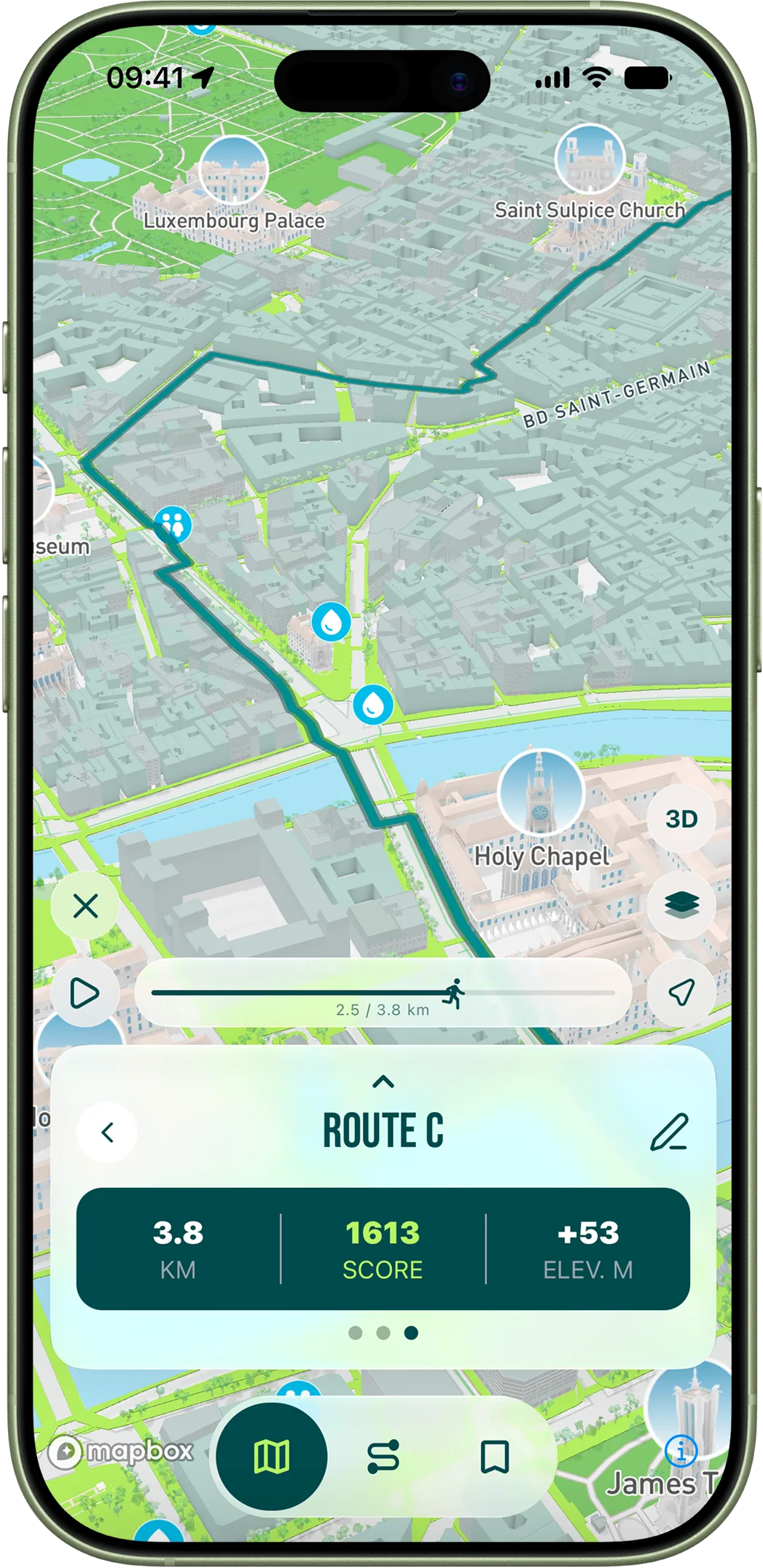
This guide is the working shortlist we use ourselves at RunninParis and the one the route-generation algorithm leans on when it scores green space. It is opinionated: every park listed here actually changes what you can do as a runner in this city. Smaller squares are wonderful, but they will not save your training plan in February. These will.
The Bois de Boulogne and the Bois de Vincennes — the city's two lungs
The Bois de Boulogne (around 850 hectares, west of the Périphérique) and the Bois de Vincennes (around 995 hectares, east of it) are the foundation of long-distance running in Paris. Both are former royal hunting forests, both sit just outside the city ring, and both are connected by Métro line 1, which makes them functionally an extension of central Paris rather than a day trip. Inside, the surface is mostly fine packed dirt and gravel, easier on the joints than the asphalt grids that dominate every other route in town. Distances scale to whatever you need: a flat 2-kilometre loop around the Lac Inférieur in the Bois de Boulogne, an 8-kilometre out-and-back along the Allée de Longchamp, or a full perimeter run that clocks in around 14 kilometres. The Bois de Vincennes mirrors this with the Lac Daumesnil loop (about 2.5 kilometres) and an Hippodrome perimeter that pulls roughly 6 kilometres of mostly flat trail.
Both Bois are also where Parisians actually train. The Bois de Vincennes hosts club intervals on Saturday and Sunday mornings around the Lac Daumesnil track, and the École de Course of the Stade Français makes the same circuit its base. If you are looking for pace partners, this is where they are. The trade-off is weather: both forests sit on the city's prevailing wind axis, so winter sessions there are noticeably colder than equivalent runs along the grands boulevards. Pack a windbreaker; the temperature under canopy in February runs consistently two to three degrees below the avenue Hoche reading. The other practical note is access — there are over a dozen entrances per Bois, but only three or four are within easy walking distance of a Métro station. The app routes you to the right entrance based on the address you set, which sounds obvious until you have once entered the Bois de Boulogne at Porte d'Auteuil expecting it to be 500 metres to the Lac Inférieur and found it was three kilometres.
The inner-city parks — the daily rotation
Inside the Périphérique, four parks form the backbone of most Parisian runners' weeks: the Jardin du Luxembourg in the 6th, the Parc Monceau in the 8th, the Parc Montsouris in the 14th and the Parc des Buttes-Chaumont in the 19th. The Jardin du Luxembourg is the smallest of the four but the most central; its perimeter loop is a flat, precise kilometre, and the surface is impeccable year-round because the central gardens are raked daily. Monceau gives you a softer kilometre of curved allées under mature plane trees and is the most pleasant of the four for an easy recovery run. Parc Montsouris's 1.6-kilometre loop is hillier than it looks at first — about 25 metres of elevation per loop — and is the de facto track for runners living in the southern arrondissements. The Parc des Buttes-Chaumont is brutally hilly: its perimeter pulls roughly 30 metres of elevation per kilometre, which makes it the only honest hill repeat venue inside Paris. Three or four laps and you have done meaningful vertical work in under forty minutes.
The detail that matters about all four is opening hours, which constrain the morning runner more than any other factor. None of these parks are open twenty-four hours. The Luxembourg opens at 7:30 in summer and 8:15 in winter; Monceau at 7:00 year-round; Montsouris at 8:00 year-round; the Buttes-Chaumont at 7:00. If you run at six in the morning, your park is closed. The workaround is to run the perimeter sidewalks until the gates open — the Luxembourg's outer pavements along the boulevard Saint-Michel and the rue de Vaugirard are wide and tree-lined, and Monceau's surrounding rue de Courcelles offers a similar setup. RunninParis accounts for this when you set an early start time: it will route you onto the perimeter first and into the park once it opens.
The Promenade Plantée and the canal corridors
Paris has spent the last decade quietly building a network of linear parks that function as runnable corridors connecting neighbourhoods. The Promenade Plantée (officially the Coulée verte René-Dumont) is the most famous of these: 4.7 kilometres along a disused railway viaduct from Bastille east to the entrance of the Bois de Vincennes, almost entirely car-free and high enough above the streets that the traffic noise drops out. Run end-to-end and back and you have a 10-kilometre route that touches almost no traffic light, with cherry blossoms in April and rose gardens in June. The Petite Ceinture, another former rail belt, is being progressively reopened section by section; the 13th, 15th, 16th and 20th now have walkable stretches that work for steady-paced running, though they are less polished than the Promenade Plantée.
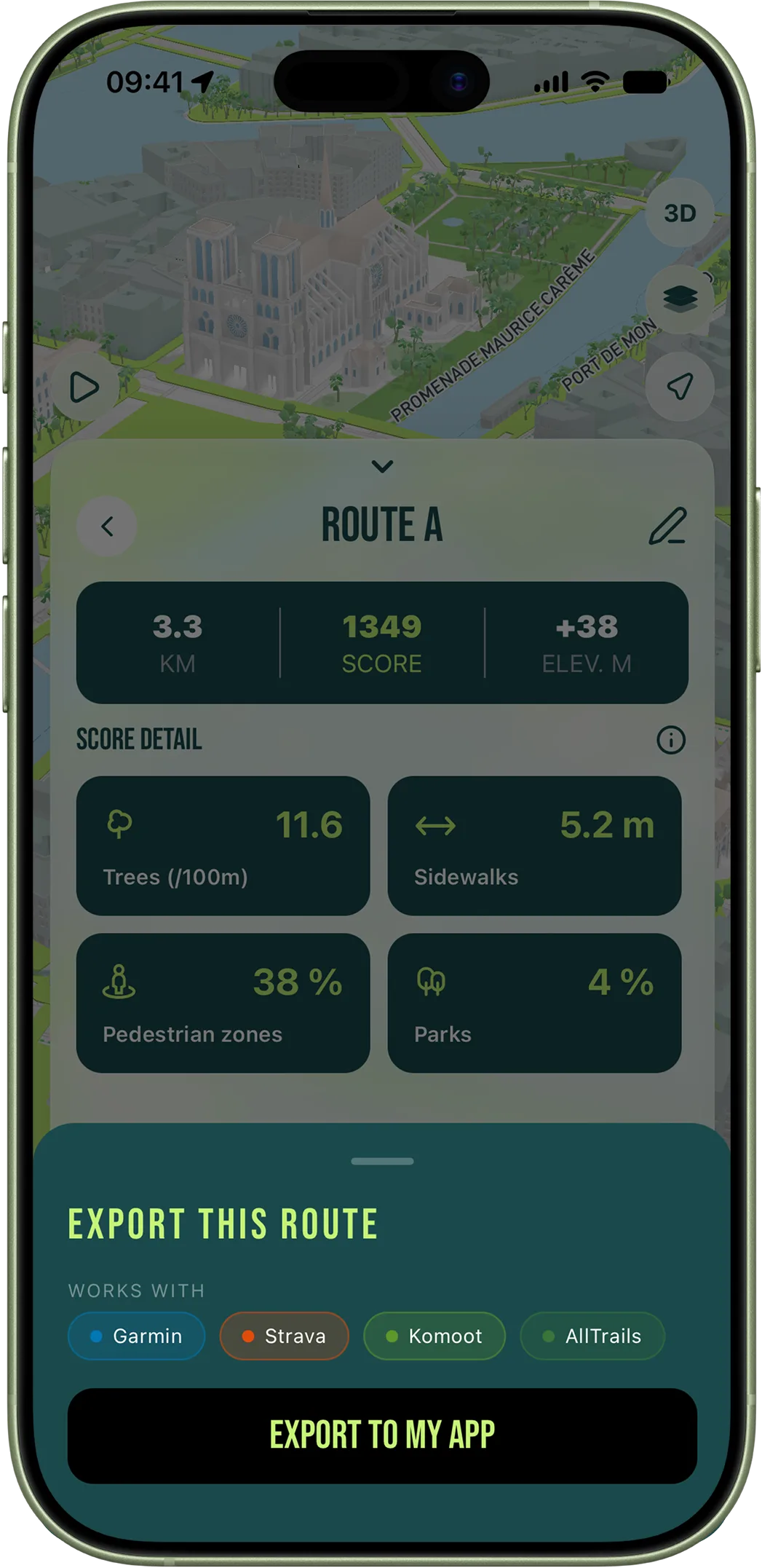
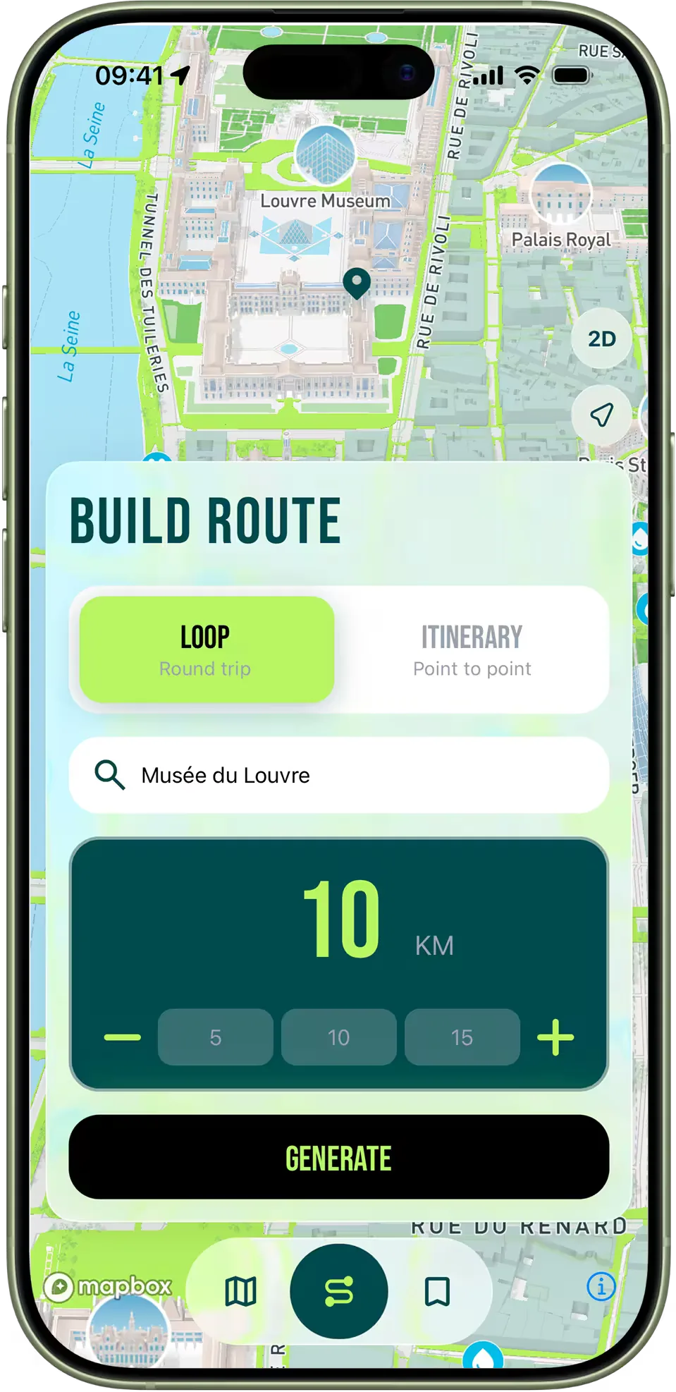
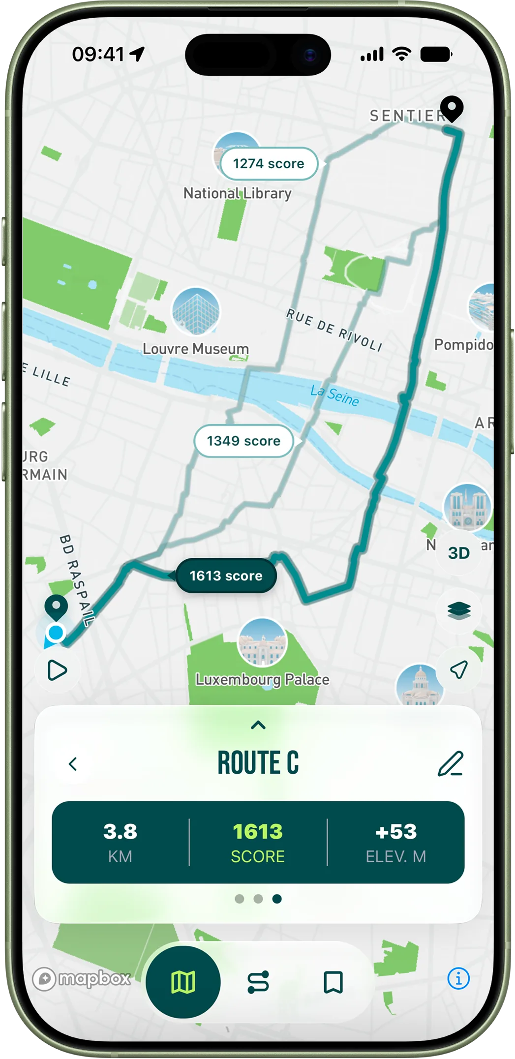
The Canal de l'Ourcq towpath gives you eight or more kilometres of flat, lit, separated running from the Bassin de la Villette out toward Pantin and beyond, with views of barge traffic and the old industrial Paris that disappeared everywhere else. Combined with the Canal Saint-Martin's pedestrianized banks south of the Bassin, you can build a fifteen-kilometre run that touches three parks (the Jardins d'Éole, the Parc de la Villette, the canal-side strip of the 19th) without ever crossing a major road. This is the kind of urban running you cannot find in most capitals. It is exactly where RunninParis earns its name: the scoring engine treats every metre of park, walkable path and pedestrian corridor as a multiplier on top of the underlying sidewalk score, so two routes of identical distance and elevation can feel completely different because one of them threads these corridors and the other follows the boulevards. The point of the in-app score breakdown is to make that visible before you run rather than discover it afterwards. Open the app, pick a starting address, set a distance — and the route that comes up first will almost certainly be the one that uses these parks the way a Parisian would.